

| Place of Origin: | Switzerland |
|---|---|
| Brand Name: | Leica |
| Certification: | CE |
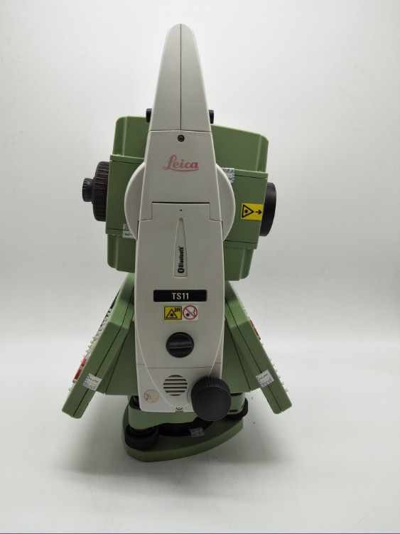
| Model Number: | TS11 |
| Minimum Order Quantity: | 1 set |
| Price: | negotiable |
| Packaging Details: | Carton |
| Delivery Time: | 3 days |
| Payment Terms: | L/C, D/A, D/P, T/T, Western Union, MoneyGram |
| Supply Ability: | 100 set per Month |
| Product Name: | Used Surveying Instrument | Brand: | Leica |
|---|---|---|---|
| Model: | TS11 | ||
| High Light: | used robotic total station,leica total station second hand |
||
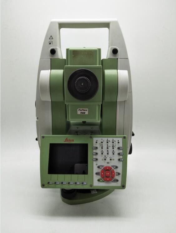
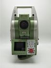
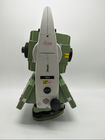
Leica Viva TS11
Leica Viva TS11, is the most advanced manual total station with the inclusion of Leica SmartWorx Viva easy-to-use onboard software, imaging and GNSS capability. The TS11 enables you to capture high resolution images, enhance them with sketching and link them to any point of interest. The easy-to-use software includes clear graphics, non-technical terminology and simplified workflows. Live streaming of the total station view gives you the ability to always see what the total stations sees. Exact photo documentation of site conditions will enhance your productivity – with the GNSS add-on you can combine your total station and GNSS in the most efficient way. Simply use SmartStation for TPS setup without the need of control points, traverses and resections.
Legend: 1 Standard deviation ISO-17123-3 2 Overcast, no haze, visibility about 40 km; no heat shimmer 3 Standard deviation ISO-17123-4 4 Fast Mode 5 Under optimal conditions on Kodak Grey Card (90% reflective). Maximum range varies with atmospheric conditions, target reflectivity and surface structure. 6 Range > 500m, 4 mm + 2 ppm 7 Single Measurement every 30 second by 25° C. Battery time may be shorter if battery is not new. 8 Reflectorless measurement time may vary according to measuring objects, observation situations and environmental conditions. 9 Measurement precision, accuracy and reliability are dependent upon various factors including number of satellites, geometry, obstructions, observation time, ephemeris accuracy, ionospheric conditions, multipath etc. Figures quoted assume normal to favorable conditions. Times can also not be quoted exactly. Times required are dependent upon various factors including number of satellites, geometry, ionospheric conditions, multipath etc. The following accuracies, given as root mean square, are based on real-time measurements. 10 When used within reference station networks the position accuracy is in accordance with the accuracy specifications provided by the reference station network.